 Mexico Postal Codes
Find Mexico Postcodes, ZIP Codes, PIN Code, Postal Codes information
The Mexico is a country primarily located in North & Central America, The capital is Mexico City. The numeric is 484 and dial code is +52. The postal system name in the country is Código postal, You can find out the postal code of each region from our website. We provide postal codes for 32 regions in the Mexico. We also provide a corresponding map on which you can view information about the area.
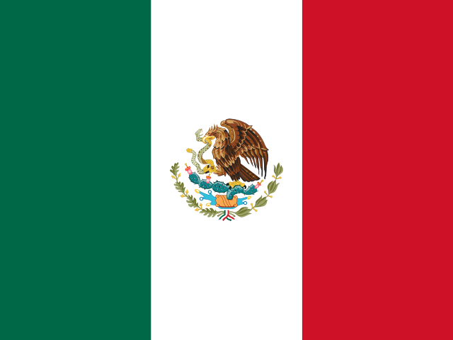
National Flag
Alpha-2
Alpha-3
The country abbreviation for Mexico is MX(two-letter), the three-letter code is MEX.
Numeric
Dialing Code
The current officially assigned ISO 3166-1 numeric code is 484, the dialing code is +52.